TRAIL FEST 50k COURSE
The Trail Fest 50k course offers a scenic tour through the the Palisades Interstate Park. The course will start at the Ross Dock Picnic area and take runners all the way up to the New York State line and back. The trails feature a variety of surfaces types, primarily rocky semi-technical singletrack mixed with more smooth dirt singletrack. The course is generally runnable, with lots of twists and turns, hills of various sizes, and some rocky technical sections. There are some extended, intermittent sections of road shoulder and roads that connect some trail segments. Full details can be found below.


Detailed Course Description
Start: The race will start at the Ross Dock picnic area at 1:30pm. Runners will leave the picnic area and head South along the road towards the GW Bridge. About 1/3 or a mile into the race, they will take a sharp immediate right up Carpenter’s Trail. Carpenter’s Trail is a long steep climb with lots of steps that will take runners up to the Long Path.
Miles .5-7.5: Once runners reach the top of the climb they will proceed north on the Long Path for roughly seven miles. These seven miles are primarily on single track trails and cross a few small roads. There are a few sections that are worth paying attention to below…
Allison Park Road (1.4 Miles): At around mile 1.4 (roughly 1 mile after hitting the top of the hill) runners will exit the trail onto a small road. Please proceed straight along this road for roughly .4 miles (staying on the left side of the road) the entire time. It is possible that you could see a car or two on this road so stay to the side and follow the red markers.
Mile 2: Around mile 2 you briefly exit the trail again, turn right (staying on the grass) and cross the street in front of the grass and immediately re-enter the trail.
AID STATION - Mile 4.8 (Green Brook Road): Just before mile 5 runners will hit the first aid station out on the course. This aid station will have some light snacks and gels, but is generally here for runners to refill water bottles.
Mile 7.7: Around mile 7.7, just before hitting the Alpine Police Station, runners will leave the Long Path and head down the Closter Dock Trail. This trail drops about 360 feet and takes runners down to the Shore Trail just past Alpine Marina. Please be careful of footing here!
This is the start of the figure 8 loop that runners will complete two times.
Mile 8.0 - 10: When runners hit the Shore Trail they will proceed north for about two miles along the river. (Keep the river to your right!) This section is largely flat, with a few small rolling hills. Footing is generally pretty good, but there are a few rockier sections where you need to pay careful attention.
Mile 10 -10.75 Just after mile 10 runners will encounter the biggest climb on the course. This climb is hard and steep with over 500 feet of elevation gain in less than a mile. Runners will take this hill all the way up the hill to State Line Road where they will hit the main Aid Station.
AID STATION - Mile 10.7 (State Line Road): You will hit this aid station four times! It is the center point of the figure 8 loop that you will complete twice. You will hit it again around mile 13.5, mile 19.2, and just before mile 22.
10.75-12.75: Just after the aid station runners will cross State Line Road and will make an immediate left onto Trail B. Runners will follow Trail B, to Trail A, to Trail C to Trail D (rest assured this will be well marked and easy to follow!) until they hit the paved Old 9w Road. You will then RIGHT onto Old 9w and proceed for roughly 1/3 mile before making a hard left back onto Trail E. Take Trail E up to the top of the hill, turn right at the intersection and proceed back down to Old 9W Road.
Miles 12.75-13.5: For the next half mile runners will stay along Old 9W/State Line Road all the way back to the Aid Station (where the crossed the road earlier). There are no cars for the first stretch of this pavement, but then you’ll pass through some boulders and it will become an active roadway. Stay on the gravel shoulder until you get back to the entrance to the trails.
Mile 13.5: Once runners pass through the old 9W aid station again, runners will head back town the trail (the same way they came up) retracing their steps for roughly 1/4 mile. After 1/4 mile runners cross the small green bridge and make a right heading back up a short hill to the Long Trail. [CAUTION! AFTER THE BRIDGE GO RIGHT AND DO NOT GO DOWN THE BIG HILL!]
Mile 13.5 - 16.00: For the next 2 1/2 miles runners will proceed south along the Long Trail back to the Police Station. This section is generally pretty runable, although there are a few rocky sections that may require caution.
When runners hit the police station they have completed the first figure 8 loop. Runners will again go down the steep decline again for the second time, and turn left onto the Shore Trail and will repeat miles 7.7 to 16. This is the second figure 8 loop.
Mile 24.5: Around mile 24.5 runners will have completed the second figure 8 loop. Instead of dropping down the hill again, after the second loop runners will stay on the Long Path and take that South back towards Ross Dock.
Mile 24.5 to 30.5: Runners will follow the Long Path for the next 6+ miles retracing the same path they took earlier in the day. (At this point they will likely be sharing the trail with half marathon and 10k runners will be following the same course from this point.)
AID STATION - Mile 27 (Green Brook Road): Right around mile 27 runners will hit the final aid station out on the course. This aid station will have some light snacks and gels, but is generally here for runners to refill water bottles.
Mile 30.5: At mile 30.5 runners will drop down Dykman Hill Road. This is a gradual decline on a former road (that has taken a beating from weather). Careful attention to footing is required.
30.7 - 31.9: The final mile of the course is along the Shore Trail. It is extremely flat and well groomed.
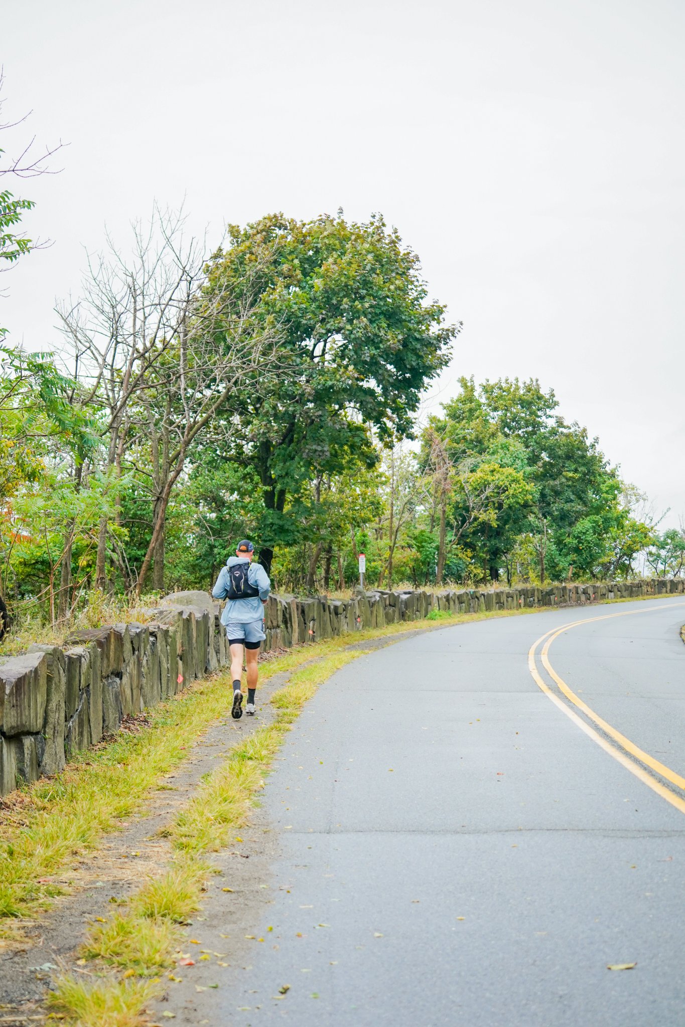
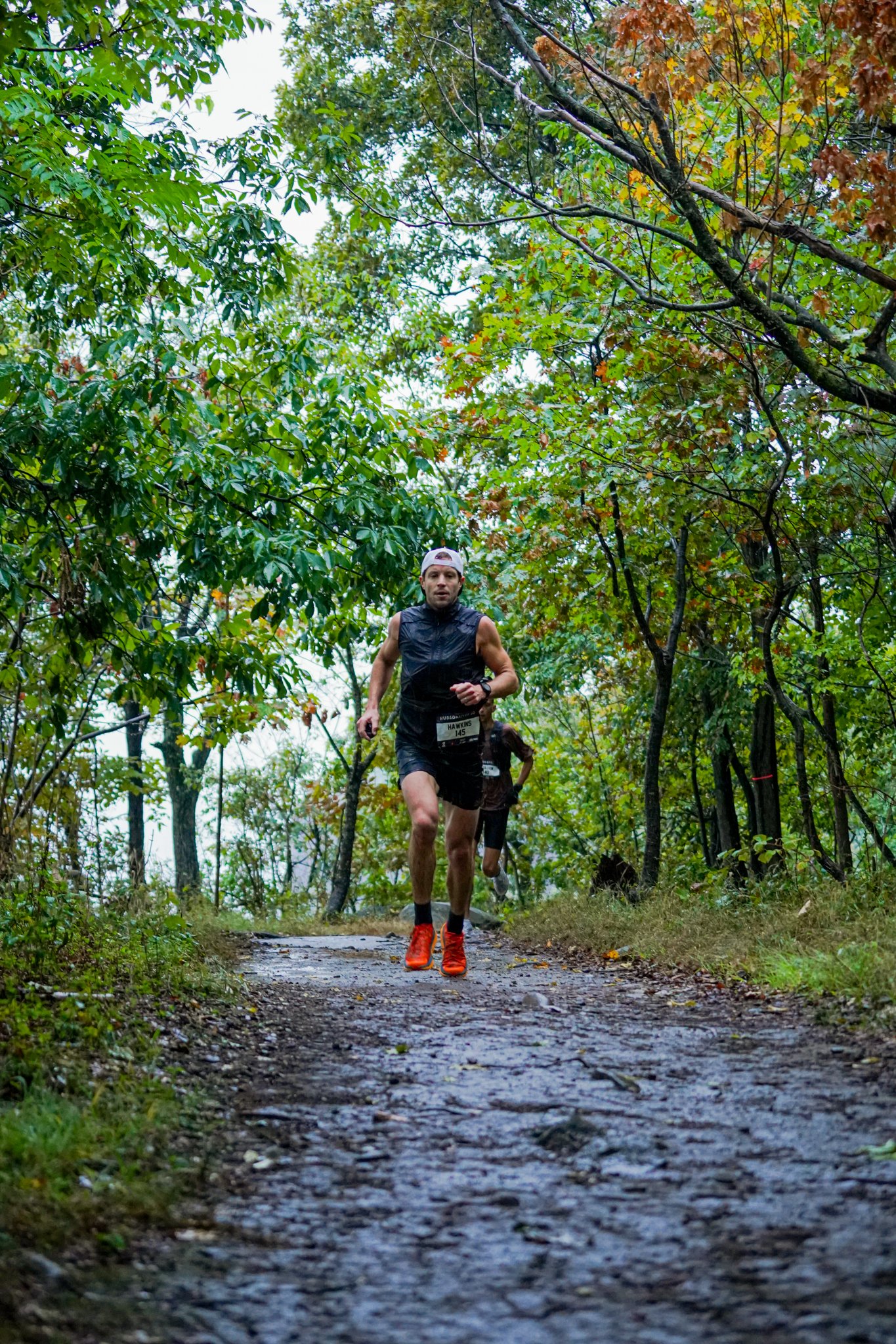
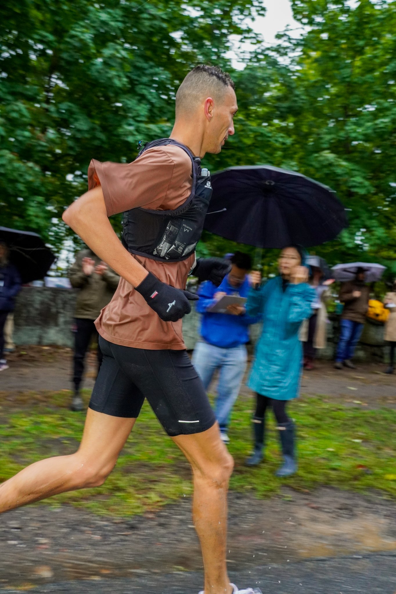
Please note that THIS IS NOT THE RACE COURSE WE ARE USING, but should give you some idea of what this trail system looks like!


Aid Station Locations
Runners will hit 6 aid stations on the 50k loop. They will encounter the first aid station on Green Brook Road around mile 4.8 and again around mile 27. They will hit the aid station on State Line Lookout Road and runners will pass through this aid station FOUR TIMES — two times on each figure 8 loop. This main aid station will have food, gels, water, drink mix and more. The other aid station will primarily have water.
-
The main aid station is located at the intersection of State Line Lookout/Old 9W and the Long Path. Runners will hit this aid station four times, two times on each figure 8 loop.
Runners can expect a wide variety of food and beverage options here, as well as gels and drink mix.
Crews are welcome to meet with runners at this aid station. However, crews must use the State Line Lookout Parking Lot and walk to the aid station. Crews CANNOT park on the side of the road next to the aid station.
-
This is the first and last aid station that runners wil encounter. They wlll hit this aid station around mie 4.8 and again around mile 27.
This aid station will primarily have water and is a spot to refill water bottles. There will be some light snacks and drink mix as well. There will be significantly more food and beverage options at the Main State Line Road Aid.
